In memory of Wiggin Dave (Dave Smallshaw):
The Runcorn to Latchford Canal, which is also known as the Old Quay Canal or possibly in parts as the “Old Quay Cut” or “Black Bear Canal”, ran from Runcorn to Latchford, south of Warrington, and connected the Mersey and Irwell Navigation to the Mersey at Runcorn.
The canal was built to bypass the shallow stretches of the Mersey by Fidler’s Ferry and extended for some 7 miles (11 km) from the east end of the Runcorn Gap river crossing point, where a dock was built, to Warrington and cost in the region of £48,000 to construct and was built under the powers embodied by the Mersey and Irwell Navigation Act of 1720 which permitted new cuts to be made without the necessity of further recourse to Parliament. It opened in July 1804 but closed in the early 1890s when it was virtually obliterated by the Manchester Ship Canal – but not quite!
We can commence the walk with a short detour from Runcorn station which will allow us to see the line of the once busy Runcorn locks on the Bridgewater Canal and then the immediate area of the canal’s start by the Runcorn Gap rail and road crossing.
The station lies on the Liverpool branch of the West Coast Main Line between Weaver Junction & Liverpool It is located a short distance south of the Runcorn Railway Bridge over the Mersey on a section of line opened by the London and North Western Railway to create a new, more direct route between Liverpool & Crewe and opened on 1 April 1869.
Turn out of the station concourse to the right and the first left under slip roads to the bridge and, by the Children’s Nursery (in a former life it was The Railway pub), turn into Cavendish Street. Go straight on across the road into Station Road which leads you to the fine three arches of the Waterloo Bridge of 1826 which straddles the Bridgewater Canal. A footway and a parapet were added in 1886. Over the bridge turn right down a short slope. The imposing building on your left was the Waterloo Pub and is now the Wat Phra Singh Thai Buddhist temple. The infilled Runcorn lock flight can be followed by turning left here and threading your way through tunnel and leafy path to the other side of the road and rail bridge approaches and into Rutland Street, left into Percival Lane and then right into Duke Close where the remains of the flight can be followed to its once junction with the MSC with the fine period building at the junction formerly being part of the Riverside College Complex.
Built in the 1760s it was originally a mansion house built to provide accommodation for the Duke of Bridgewater when he was supervising the construction and administration of the Bridgewater Canal. Take the road on the right along through the new build and eventual to the waterside along Collier Street to Mersey Road and under both the road and rail bridges which are worthy of mention.
The Runcorn Railway Bridge was built by 1868 for the LNWR to a design by William Baker, chief engineer of the railway company. It has been designated by English Heritage as a Grade II* listed building.
Locally known as the Ethelfleda Bridge but more widely as the Britannia Bridge, the bridge is named after Ethelfleda because the southern abutments and pier were built on the site of the Saxon castle erected by her in 915. Parts of the bridge are castellated to reflect this. There are three shields above the footway showing, from the southern end, the Coat of Arms of the City of London, Britannia (from the crest of the railway company) and the Liver Bird of Liverpool. It is because of the middle crest that the bridge is also known as the Britannia Railway Bridge.
The Silver Jubilee Bridge is a through arch bridge which was opened in 1961 and widened in 1975–77. It carries the A533 road and a cantilevered footway. The bridge is a Grade II listed building.
The design of the bridge is similar to that of Sydney Harbour Bridge but differs from it in that the side spans are continuous with the main span rather than being separate from them. This design feature was necessary to avoid the problem of oscillation due to the railway bridge. The main span measures 1,082 feet (330 m) and each side span is 250 feet (76 m).
A few steps further along the path brings the walker to the site of the earlier road crossing in the approach to the transporter bridge at the end of Waterloo road.
Previous to the railway the only means of crossing the Mersey at or near Runcorn Gap was by fording or by ferry. Before that the lowest crossing of the river had been the road bridge at Warrington. The first bridge to carry vehicular traffic across Runcorn Gap was the Widnes-Runcorn Transporter Bridge which opened in 1905. This was an inefficient means of transport and it had become inadequate for the amount of traffic using it before the outbreak of the Second World War. In 1946 the Ministry of Transport agreed that the transporter bridge should be replaced when sufficient funds were available
Nothing is left here now save the wall abutments but, looking across the river you can make out the office block and small booking office nestling by the white painted Mersey Hotel pub, locally referred to as the Snig, and round the corner to the right is Spike Island and the entrance locks to the Sankey Canal. An area full of industrial history – but that’s for another day.
An 1882 Ordnance Survey map of the area shows 3 graving slips and 3 ship building yards along the Ship Canal between the railway bridge and the new Deck apartments development. A nice waterside path separates the walker from the road traffic at this point and the views over the Mersey are good. On this bank of the ship canal stood Abel’s shipbuilding yards who were responsible for the construction of many of the Mersey flats which once ruled supreme in these waters. Keep heading along the path until it rejoins Mersey Road and the new residential block looms large, continue left into the new build area as the road swings inland and keep to the right of the development which is exited by a scruffy footpath (at time of writing) which leads you into Thomas Street and left into Stanley Road. At the end of this pleasant straight road and by an old chapel turn left into Irwell Road and then right into Old Quay Street. Note the names of the streets round here and you can now realise that you are close to the site of the Old Quay and the start of the Mersey and Irwell navigation system – some of these small cottages have certainly seen some changes!
Old Quay Street soon becomes traffic free and before long you can be seen the familiar accumulator tower of a typical Ship Canal swing bridge and we soon arrive at the Old Quay swing bridge of 1894 which links the town with the nature reserve of Wigg Island.
A triumph in industrial land reclamation and rejuvenation and covering 23 hectares with 3,500 square metres of planted woodland and four kilometres of wide pathways, the area supports a rich variety of native wildflowers,
The Island is named after Charles Wigg who established the first industrial factories on the site in the 1860’s. Along with two partners, he set up a small alkali works close to the Old Quay Canal for extracting copper from its ore and the site expanded and diversified, supported by the later construction of the Manchester Ship Canal alongside.
During the Second World War, Wigg Works East, then called Randles Works, was used for the production of mustard gas. ICI then ran the site until manufacturing ended in the 1960s
Although not open when the writer visited the site, the strikingly designed visitor centre has a full range of facilities as well as information on the history and natural history of the park.
There are a variety of footpaths to chose here from the straight path along the ship canal to the circuitous routes around the shoreline but at some time you will come up against the first tangible remains of the Runcorn and Latchford Canal where it spurs away from the path taken by the later waterway.
Returning to the walk it is possible to follow the canal spur along a wide sweep of the course which almost leads into the Mersey before turning back inland and disappearing in the undergrowth where the path leads you back over high ground no doubt spoil from the ship canal construction and back on to the long straight path that follows the ship canal. The way here is left and along the path which dwindles to a rough track which occasionally shows relics of the railway system that once ran the length of the new waterway.
To service the freight landed at the canal’s docks, the Manchester Ship Canal Railway was created to carry goods from canal side industry and connected to the various companies near the waterway. The MSC Railway, unlike most other railway companies in the UK, was not nationalised in 1948 and it became the largest private railway system in the country, with 75 locomotives, 2,700 wagons and over 200 miles (320 km) of track.
Many of the MSC steam locomotives were 0-6-0 tank engines, several of which have been preserved, They were designed to enable them to negotiate the tight radius curves of the tracks peculiar to the system; the middle wheels of the 0-6-0 arrangement were flangeless, and the coupling rods had a hinged central section that permitted several inches of lateral play. Diesel replacements were purchased between 1959 and 1966, but the system was eventually run down, the last vestiges employed at Ellesmere Port and Stanlow.
Finally a metal fence officially bars the way to the public footpath on the other side and no vehicular access is permitted. In true British fashion of defying ‘jobsworth for jobsworth’s sake’, the side panels have been ‘removed’, thus allowing the intrepid walker to continue on this interesting journey. If they have been repaired then I am sorry you will have to retrace your steps and start again another day….from the Warrington end though! This forms the border and you are now leaving Halton borough.
On the other side of the fence and you are suddenly in the wide open spaces with the River Mersey close in on your left and across are the cooling towers of the Fidler’s Ferry power station. The scruffy patch of land here also houses what the ordnance map calls the “round chevaral” This bricked up square edifice dated 1938 and LCWW is a control area for the Vyrnwy Aqueduct which passes under here taking fine Welsh water to the City of Liverpool (Liverpool Corporation Water Works). Rumour has it that it is also used to make Bombay Sapphire Gin so it certainly needs protecting!
To the right here, on the other bank of the Ship Canal is the new hub for the Eddie Stobart transport group and over on the small hill behind is the accelerator tower of the Daresbury Laboratories and Research Centre. More railway lines are encountered and then a long disused wharf juts out into the canal complete with bollards, its purpose, years ago, not known.
It is at this point that the intrepid walker looks for a means of heading into the wooded area on the left to find the course of the Runcorn and Latchford Canal again as it separates from the Ship Canal and heads at a shallow angle north easterly on its way to Warrington. The clue to the parting of the ways lies in the proximity on the left hand side of a farm and some cottages marked on the map as “Bob’s Bridge”
Old hands at finding disused waterway courses will soon realise that the path has turned right and carries on in a straight line in a wide dip. Further inspection will reveal that the profile of the old canal is still there complete with well preserved retaining walls too.
Three-quarters of a mile of pleasant walking leads to the site of Moore Bridge and we are now deep into the Moore Nature Reserve created from reclaimed land used for landfill.
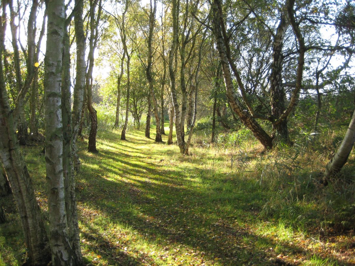
The course of the canal can still be followed for a little while longer before the way is blocked where landfill is still being processed and all traces of the waterway have been obliterated from hereon and the route is still resticted. All is not lost, however, as the path bears to the right here and, skirting the large Birchwood Pool, winds through pleasant sequences of wood and glade. The first of a series of hides provide the visitor with fine vantage points to view the varied birdlife that flock to these waters.
The path winds round the water and there is another chance to watch local wildlife from another hide by taking a left path down the side of the second stretch of water, Pump House Pool. This path is a dead end so you need then to retrace your steps and continue for a short while further along the woodland path until it eventually rises up shallow steps to meet a gravel road which is sometimes used by road vehicles so take care here.
Immediately noticeable is the fine viaduct taking the main west coast railway lines over the ship canal and the high rail embankment and road start to gradually converge. Our way is towards the convergence, turning first left along a long straight track, which eventually curves slightly to the left (where another bird hide is located) and then slightly right. A gate is encountered next inviting lorries to report to the checkpoint and our way is through here until a prominent arrow points the way back into the Moore nature reserve through a gap in the right hand fence. A quick glance down to your right shows that we are back on the course of the old waterway and a welcoming bench is strategically placed here to rest and dust off the debris from the long walk along the trackways.
Reinvigorated we press on along a really pleasant stretch of path, the canal is in water here and in remarkably good condition considering its long spell of disuse. Hawthorn and wild flowers make it very pleasant in spring but at any time the woods and water teem with wildlife in a very peaceful and secluded part of the reserve. Half a mile on the water is hidden by a blanket of bullrushes and reeds and the wooded cover goes as we near the point where the railway crosses over the Mersey on a high bridge. All traces of the canal’s course have disappeared here but it swung right here and went under the stone structure and ran parallel with the river under two bridges, each with separate arches for the waterway, and, a hundred yards or so after the second bridge it reappears again – and in water. This second bridge is the original bridge carrying the Grand Junction Railway main line north to meet the Liverpool and Manchester railway at what is now Earlestown. Here take the wooded towpath which accompanies the waterway until it encounters the earthworks of the bridge taking Chester Road over the Mersey and then up the steps to the busy road crossing. Turning left here, cross the road with care at the pedestrian lights, and then straight down the track which narrows and descends into woodland. The path skirts housing on the left and then kinks right a little. Behind wire mesh fencing on the right lies Walton Lock which currently is in a derelict state .
This lock once provided access via a cut to the river Mersey west of here. The navigation is now derelict and predominately filled in behind the lock with a small stream the only remnant of the previous use although some strafing timbers appear along its course… Traffic finished in the mid 1980’s when waterborne freight stopped to Fairclough’s Mill at Bank Quay. With the construction of new housing the possibilities of leisure activity on the basin may be possible but a reinstatement of the lock (never officially abandoned) would enable inland craft to enter the upper Mersey and a new access to the Sankey Canal at Fidler’s Ferry would be less of an ordeal for canal craft than traversing the river further downstream.
The path follows round the basin area and housing is met again at Greenall’s Avenue, aptly named as we are in the vicinity of the one time large brewery complex of the Greenall family. There is a row of old cottages here called River View! It is not possible to see the Mersey from here now but the river was diverted away from here into it present course with the building of the Manchester Ship Canal. Continue right along the row of cottages to the end where the path once again bears left and hogs the ship canal’s left bank until gradually rising to show beyond the modern buildings on the left the old distillery and brewing buildings.
The path finally drops down to the accumulator tower at London Road below which are the remains of the lock that took the waterway off the ship canal in latter days and linked the final part of the Canal to the river Mersey above Howley Weir, and locally called the Black Bear Canal. In fact after 1895 this short stretch of only about a mile became the only part of the Runcorn and Latchford canal to remain in use, the rest being made redundant by the ship canal construction.
The route remained until the 1960s and mainly took hides to the tanneries at Howley until use of road transport and the demise of this industry brought disuse. In 1981 the scene was pretty dreadful and Warrington Council began a reclamation scheme which transformed the mess into a linear country park which has grown to what it is today. The route through the park is therefore pretty devoid of waterway relics although, it has to be said, it makes a pleasant walk. There are glimpses of old rail crossings and sidings and wharf buildings too behind the trees and the Black Bear bridge is intact (named after the adjacent but now defunct pub of that name). The linear walkway then enters Victoria Park, a large swathe of parkland that lines the banks of the Mersey, where in the undergrowth to the right of the path there are patches of water which may be connected to the old waterway. At the end of the trail, the remains of Manor Lock are still visible where the canal locked into the once navigable upper Mersey.
This is the end of the Runcorn and Latchford Canal proper but a short walk onwards leads the walker to a further piece of the jigsaw of the remaining sections of the Mersey and Irwell system of waterways and which is worthy of examination if the time and legs permit. This extension is to be continued in a future article with the possibility of it being done as pert of a round walk.
This is the end of our walk. Warrington Transport buses serve this area, Westy, look them up before you set out, for times and stop locations.
Distance about 9 miles. Terrain is mainly good but there are some boggy spots. Stout walking gear is desirable. Parts of the walk are in open country with no shelter and strong winds can often be encountered on the Mersey estuary so it is well to have adequate waterproofs, warm clothing, food and something to drink with you.
Refreshments etc: None available between Runcorn and Warrington (although there is a good pub in Moore village, Graham).
____________________________________________________________________________________________ JDS 5/2011

Apologies to Wiggin Dave for the necessary alterations to update his walk from 2012, I have tried to kept the structure and style of the original. This is part of walk that went to Howley lock and then along to Woolston Eyes.